
Atlanta’s skyline has never been known for standing still. A look back at the city in 1970 shows just how much the shape, scale and identity of downtown have changed over the last five decades.

An archival image preserved by Georgia State University shows downtown from the Downtown Connector in June 1970. In the photograph, the cylindrical Westin Peachtree Plaza is still under construction, and several buildings that now define the city’s silhouette do not yet exist.
View the 1970 Atlanta skyline photograph in Georgia State University’s archive.
From a compact downtown to a multi-district skyline
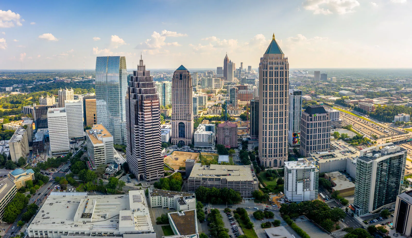
The biggest visual change is not one building—it is the way Atlanta’s skyline now stretches across multiple districts. Downtown’s hotel towers and office buildings are joined by the growth of Midtown, Buckhead and new development around the BeltLine.
The Westin Peachtree Plaza opened in 1976 and became an instant landmark. Later additions, including One Atlantic Center and Bank of America Plaza, pushed the skyline north and upward. Residential towers, stadium development and mixed-use projects have continued filling the spaces between Atlanta’s major business districts.
The roadways changed too. The Downtown Connector visible in the historic photograph remains one of the region’s most familiar—and frequently congested—views, but nearly every structure surrounding it has evolved.
That 1970 image captures Atlanta in the middle of becoming the city people recognize today. The modern view is a reminder that another generation may look back at today’s skyline and see the same kind of dramatic transformation.
Source
GAFollowers Shop: Georgia’s GTA-inspired sticker is available now. See the sticker and order here.
Follow @gafollowersofficial for more news and culture from across Georgia.